Wilderness Trip of the Sierra Nevada and Surrounding
Areas  TRAIL REPORT OF NORI AND HIRO


Next

JOHN MUIR TRAIL 2/4

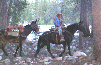
We got resupply at the Le Conte Canyon by Packer. The Packer brought us our food by the horse and mule that took about six hours from South Lake near Bishop. After he gave us our package, camped out here, then he went back with our garbage and letters to our friend. The cost was about 500 dollars.

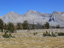
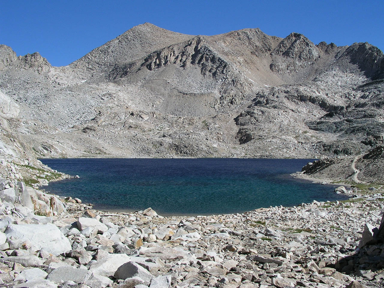
The switchbacks of the Mather Pass and the Pinchot Pass are very steep, but you can enjoy the wonderful view from the top. Even if you are very tired, we strongly recommend avoiding camp at the plain near the pass. Because, the night is very cold with strong wind blow down from high mountains. Therefore, you better camp in the forest a few miles from there.

At the Arrowhead Lake and The Rae Lakes in the Kings Canyon National Park, there are sturdy food box for protect backpackers food from bear. Proper food storage is backpacker’s duty, in other area you should store your food into the food canister that you have. Black bears inhabit here are cowardly, but, when the bear knew the taste of human food, it will become a dangerous bear.

Vidette Meadow’s mosquitoes are very bad. When you stop the walk for a while thousand of mosquitoes gather around you. Don't forget to take a net and mosquito repellents.

Forester Pass is most strenuous pass on John Muir Trail. It is 13,200 feet high, has long steep switchbacks of both sides. You have to fight with a breath becoming tight in thin oxygen. Here is the climax of John Muir Trail. When you go down this pass, you see the Mt. Whitney on your left, and you will believe that the goal is not so far.

Mt. Whitney has different shapes with where you look up. The view from Bighorn Plateau is looks like a short cake witch cut a quarter. The center of cake is high and the outside is low. The east side view from Lone Pine is visible like the rocky mountain which rose steeply. The Lone Pine Peak of left side is seems higher than Mt. Whitney, as it stands in near side. So, everyone confuse “Lone Pine Peak is Mount Whitney?”

Guitar Lake is the final camp to climb Mt. Whitney. Arriving here early afternoon, get enough rest and prepares for an early morning start.

Packer
↑Muir Hut        ↓Helen Lake
 ↑Food Box
       Food Canister→

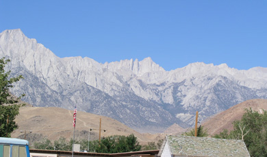
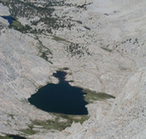
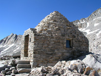
Mt. Whitney is about 3,300 feet higher than Guitar Lake. It takes about four hours from there. The summit of Mt. Whitney is covered with big rocks, and there is a stone-made refuge hut.
The views from the top is wonderful, you can see the Inyo Mountains, Owens Valley, Highway 395 and Town of Lone Pine. Seeing the highway or a car is also feels nostalgic for those who have been immersed in the backcountry for several days.


← Mt. Whitney from Lone Pine
Mt. Whitney near Forester Pass
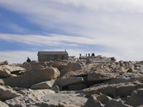
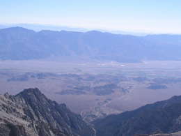
Lone Pine from the top of Mt. Whitney Guitar Lake The Hut on the top of Mt. Whitney

Rule and Regulation
・Wilderness permits are required for all overnight trips into wilderness area. They are not required for day hikes, except
 Mount Whitney area. Yosemite users a trailhead quota system which limits the number of people who may begin overnight
 hikes from each trailhead, each day.
・Pack out all trash and use gas stoves rather than wood fires.
・Use proper food storage techniques, bear-resistant food canisters are required in Yosemite.
・Camp in an existing, well - used campsite at least 100 feet from water.
・Purify all drinking water - boil for 5 minutes, or use a Giardia - rated filter or an iodine - based purifier.
・Dispose of human waste in a small hole at least 100 feet from water and trail.
・Do all washing at least 100 feet from any water source or trail.

Copyright (C) NORI AND HIRO TRAILS IN THE SIERRA NEVADA All Rights Reserved.
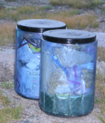
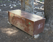